

Before there was Perry Heights, there was Cedar Springs.
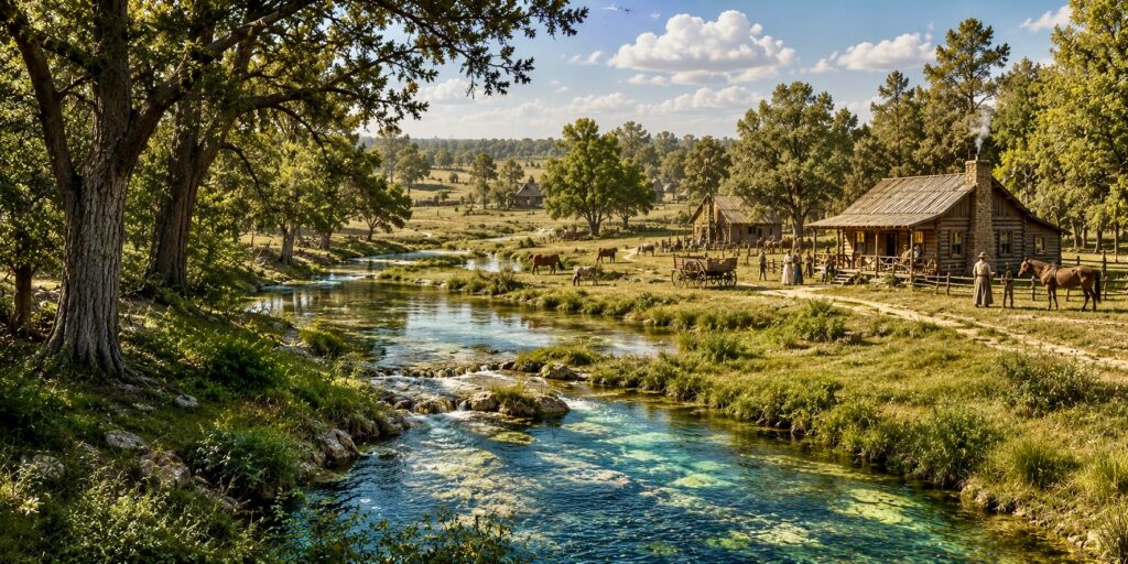
Drive down Cedar Springs Road today and it’s easy to forget that the name describes something that was actually here.
Long before Perry Heights was established in 1922, natural springs and streams helped define this part of Dallas. By the 1840s, a small settlement called Cedar Springs had grown around them, with homes, a general store, mills, a blacksmith, a school and even a whiskey distillery.
For a brief moment, Cedar Springs might have become much more important than Dallas.
The Vote That Changed Everything
In 1850, residents voted on where to establish the permanent seat of Dallas County.
Dallas received 191 votes. Hord’s Ridge, later Oak Cliff, received 178.
Cedar Springs received 101.
With no majority, Cedar Springs was eliminated. Dallas then defeated Hord’s Ridge in a runoff by only 28 votes and became the county seat.
Dallas grew into a city. Cedar Springs was gradually swallowed up by it.
But it never completely disappeared.
Look Around Craddock Park
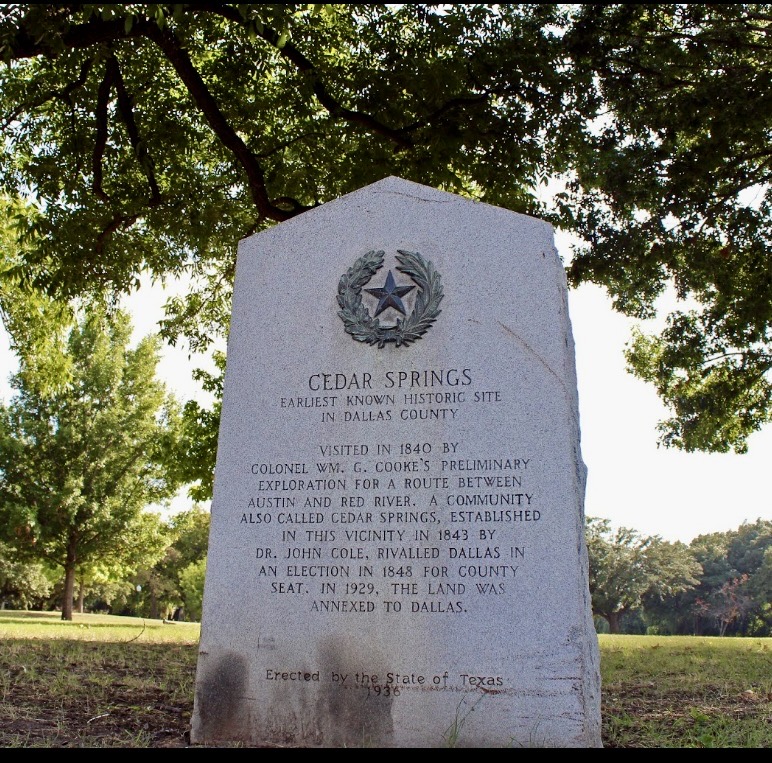
Today, a 1936 Texas Centennial marker in Craddock Park commemorates Cedar Springs and identifies it as one of Dallas County’s earliest historic places.
And recently, while researching the story, we received something fascinating from the Dallas Municipal Archives: a 1947 topographical survey of Craddock Park.
The old plan shows a landscape quite different from the manicured park we know today. Its contour lines reveal low areas and natural drainage, along with mature vegetation and even an area charmingly labeled “PICNIC PIT.”
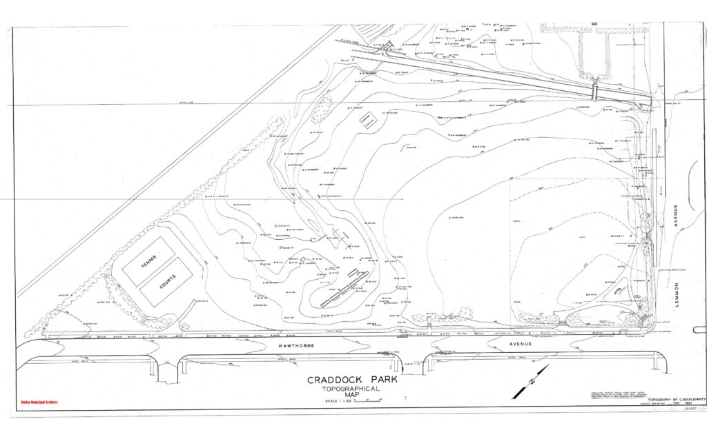
The map doesn’t pinpoint the original Cedar Spring. But it gives us a rare glimpse of the water-shaped landscape that survived here as Dallas developed around it.
So Where Did the Water Go?
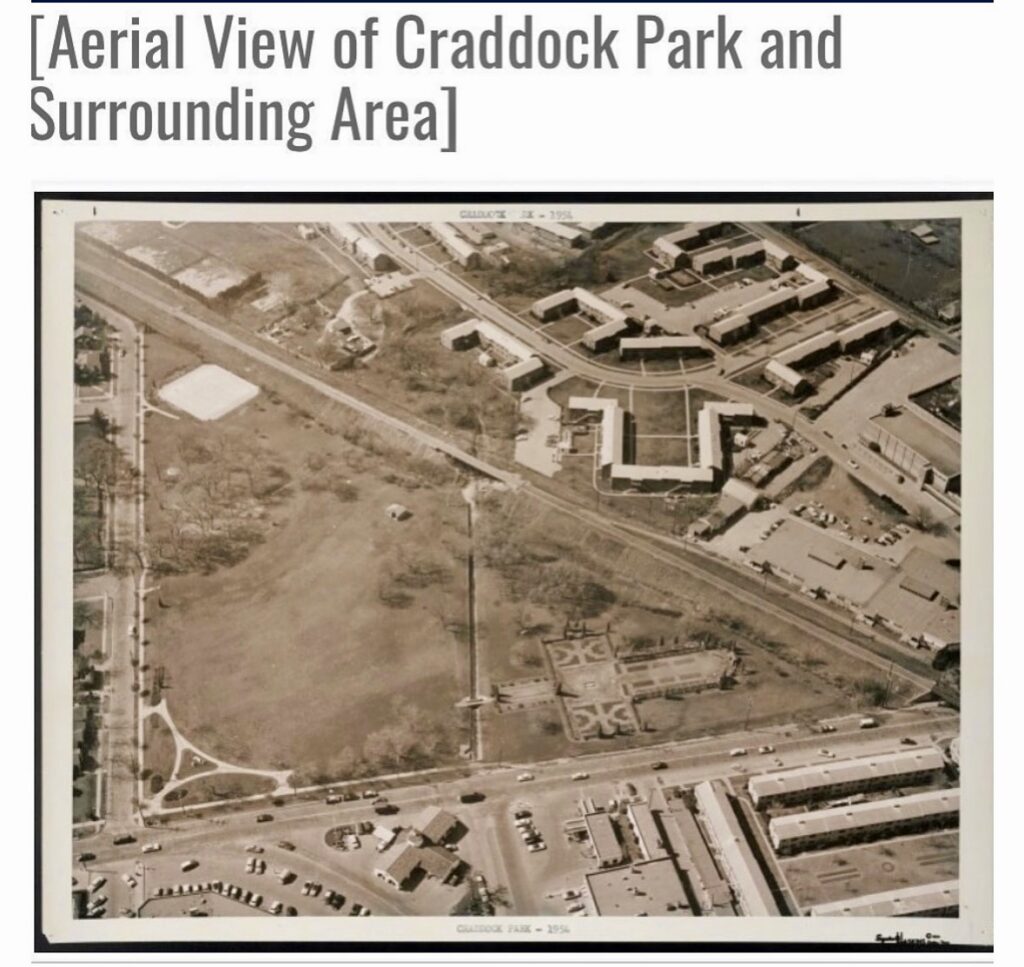
As Dallas grew, the landscape changed. Streets were paved, lots were graded, and natural drainage was increasingly redirected into the city’s storm-water system. The construction of the Dallas North Tollway brought another major transformation to the area.
Exactly how the old Cedar Springs waterways were altered remains something of a mystery. We searched for early Tollway engineering and drainage plans that might provide the answer, but so far that piece of the puzzle has proved elusive.
But the water itself may not be gone.
A historic well still survives on a block of Vandelia, a remarkable reminder of the groundwater beneath Perry Heights. Perry Heights residents have seen it firsthand and a few took the ladder down to feel the cold water used to mostly water plants. We can’t prove that it taps the exact spring that gave Cedar Springs its name, but we do know that the water-rich geology that shaped this area didn’t disappear simply because Dallas grew above it.
The old name remains on Cedar Springs Road. The historical marker remains in Craddock Park. The 1947 survey preserves the contours of the land. And an old well still survives on Vandelia.
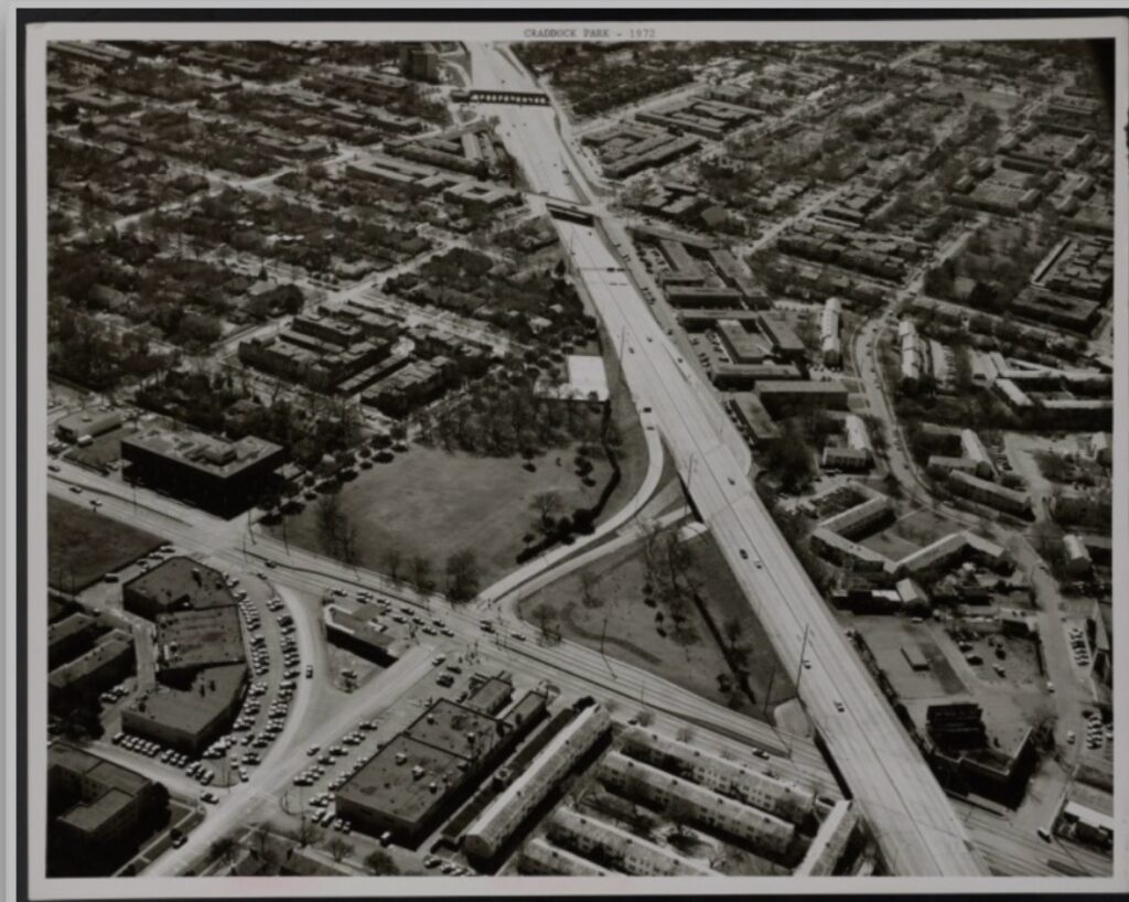
More than 175 years ago, Cedar Springs lost an election to Dallas.
But Cedar Springs didn’t really disappear.
The spring became a road name. The settlement became a neighborhood. The streams largely disappeared from sight. But beneath the modern city, the old landscape is still there.
Dallas simply grew over it.